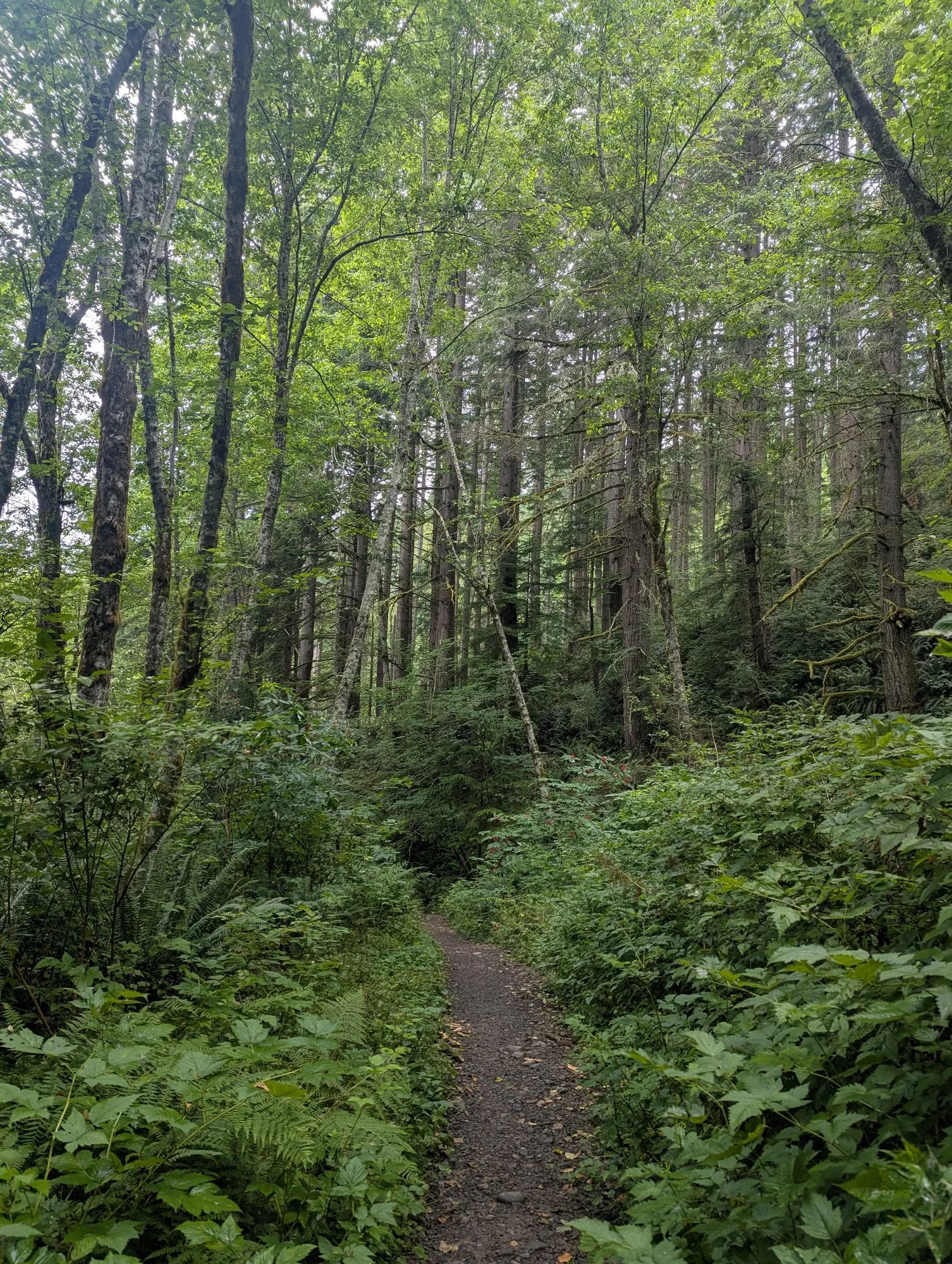
hike · Issaquah, Washington · July 17, 2026
Poo Poo Point, the Long Way Around
I went up to see where the paragliders launched. The weather was too good to turn back.
The long loop
My route at a glance
- Date
- July 17, 2026
- Location
- Issaquah, Washington
- Activity
- Hike
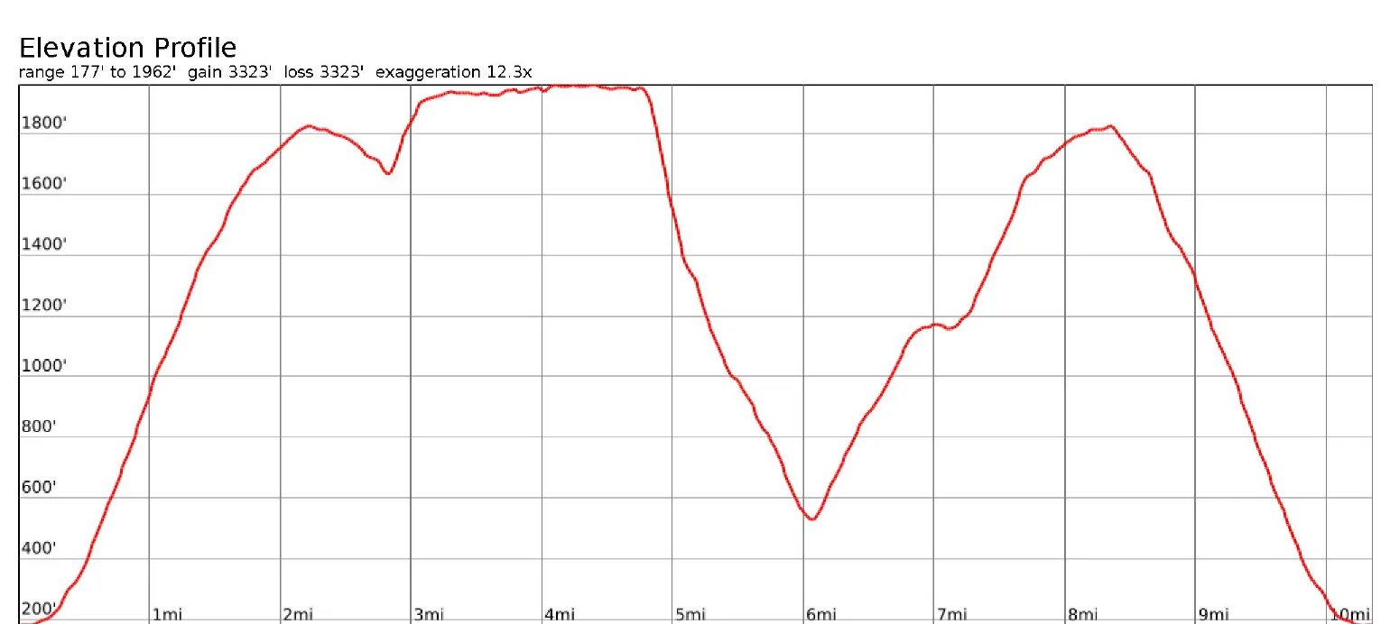
- 1 Poo Poo Point trailhead mile 0.0
- 2 Poo Poo Point, first arrival about mile 2.2
- 3 Beginning of West Tiger RR Grade about mile 3.1
- 4 Beginning of Section Line Trail about mile 4.8
- 5 Beginning of Poo Poo Point Trail about mile 6.1
- 6 Back at Poo Poo Point about mile 8.3
A short hike in mind
My wife Emy’s cousin lives near Poo Poo Point. From his home, I had often seen paragliders floating above the mountain, and for a while I had wanted to hike to the field where they launched.
Most of my hikes have been with Emy. This time, she was back in Oregon while I was in Seattle for my master’s program at UW, so I went by myself.
I started from the Poo Poo Point trailhead at around 9:45 on a clear Friday morning. The temperature was close to 60 degrees, which felt perfect for hiking. My plan was to follow the Chirico Trail to Poo Poo Point and return the same way, about 4 miles round trip.
As usual, I had prepared more than I thought I would need. I filled my three-liter hydration bladder for what was supposed to be a fairly short hike.
I enjoyed the steep ascent. Climbing usually gives me energy, and I was excited enough to sprint through a few sections.
The long way around
When I reached Poo Poo Point, I was glad to finally stand at the launch field I had seen from below so many times.
But the weather was beautiful, and the hike felt too short.
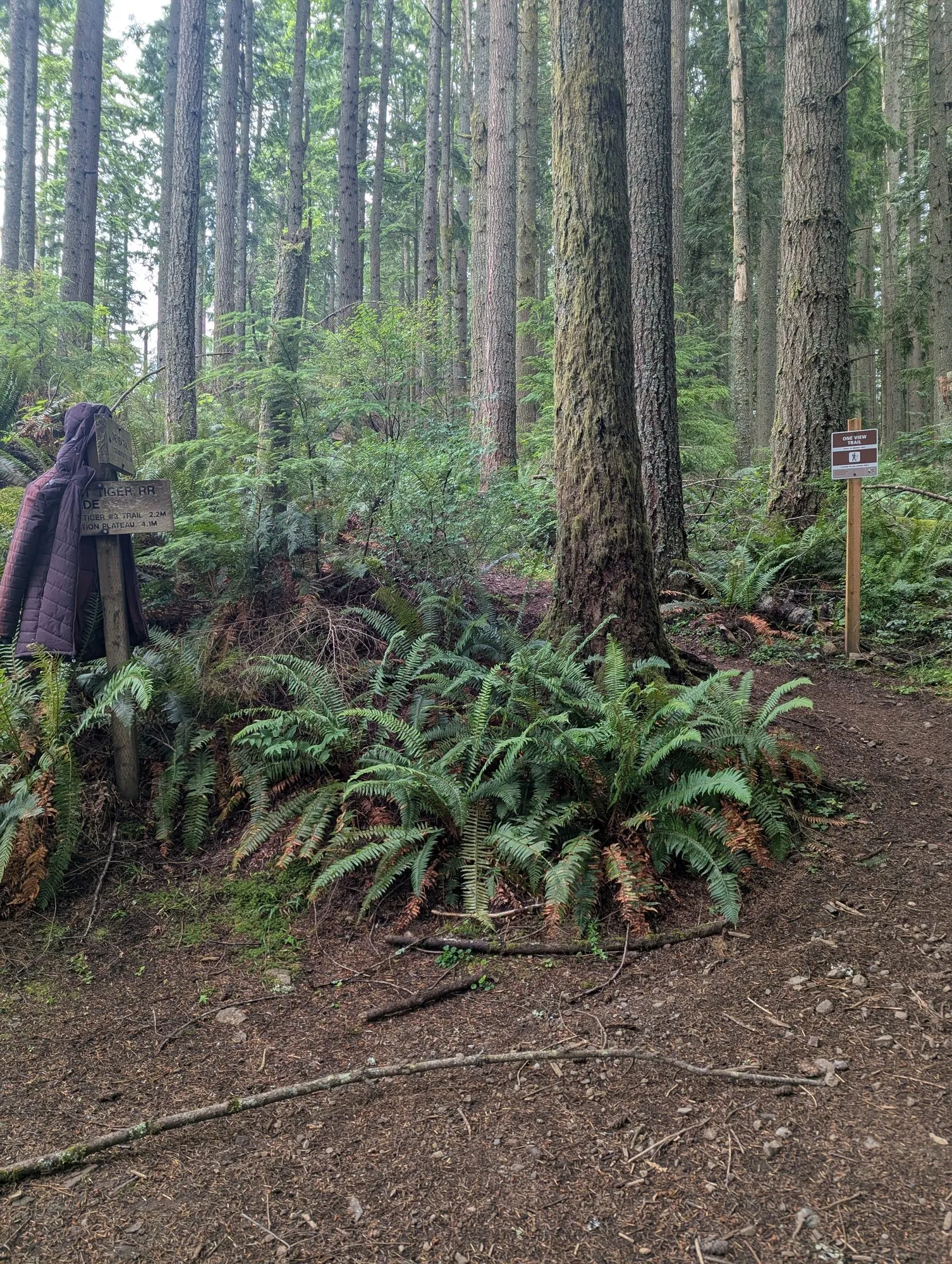
I checked the map and saw that I could turn it into a much longer loop. Instead of returning immediately on the Chirico Trail, I could continue through One View Trail, connect to West Tiger Railroad Grade, and eventually work my way back to Poo Poo Point.
The more common route would have been simpler, but I wanted to explore the quieter trail.
At the time, extending the hike did not seem like a difficult decision. I had plenty of daylight, three liters of water, and more food than I expected to need for my original plan. I continued on One View Trail toward West Tiger Railroad Grade.
West Tiger Railroad Grade
The hike felt different once I entered West Tiger Railroad Grade.
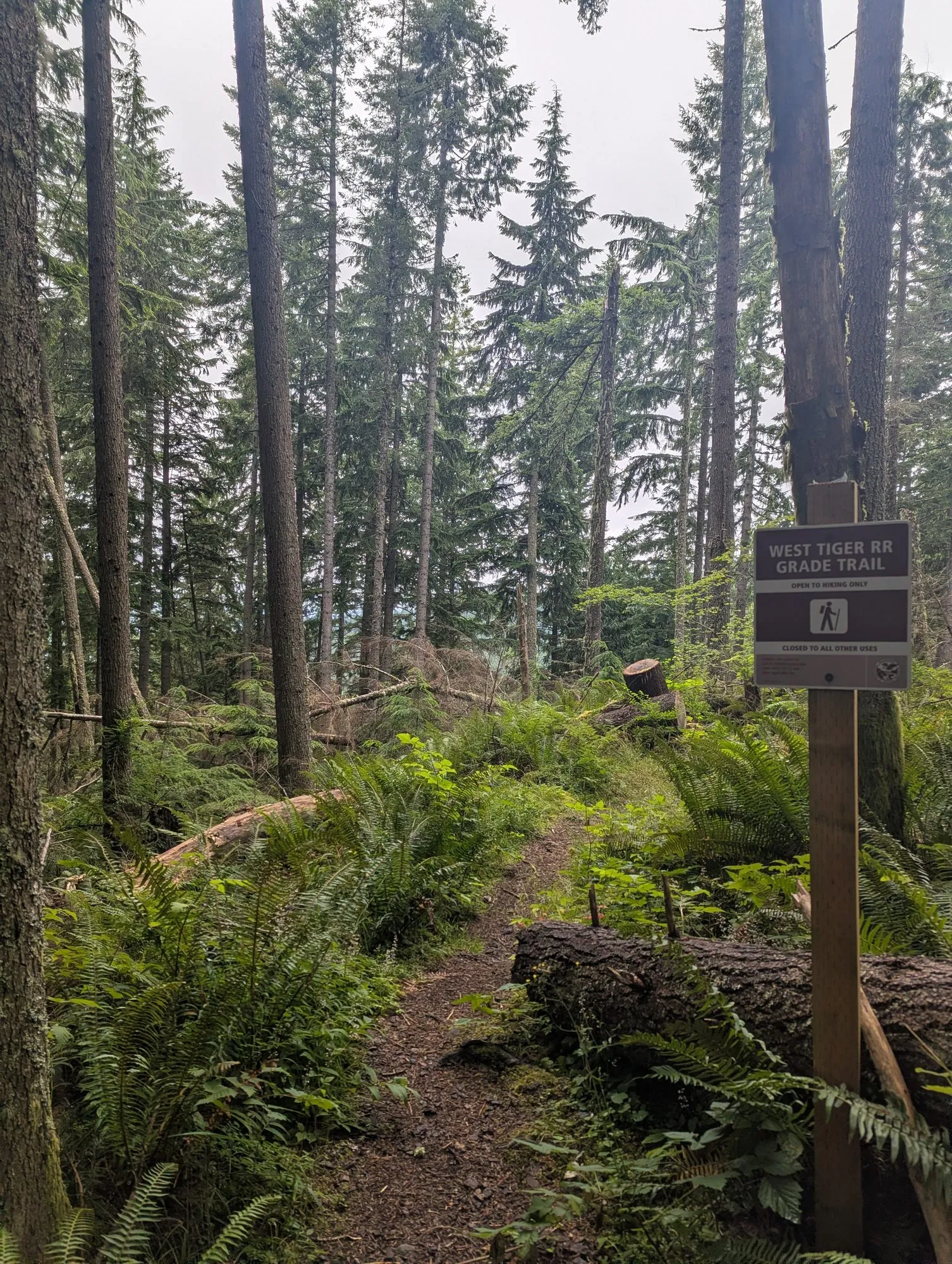
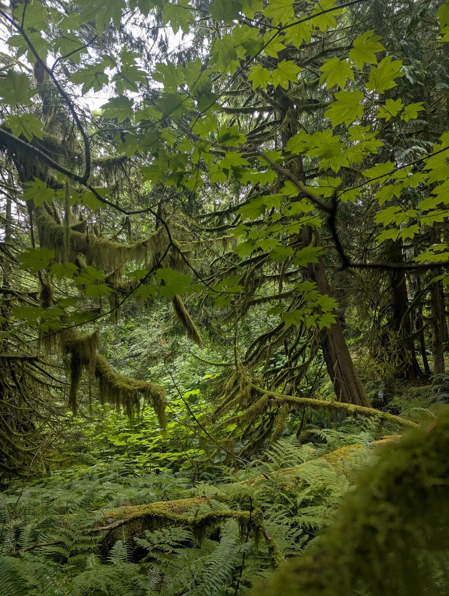
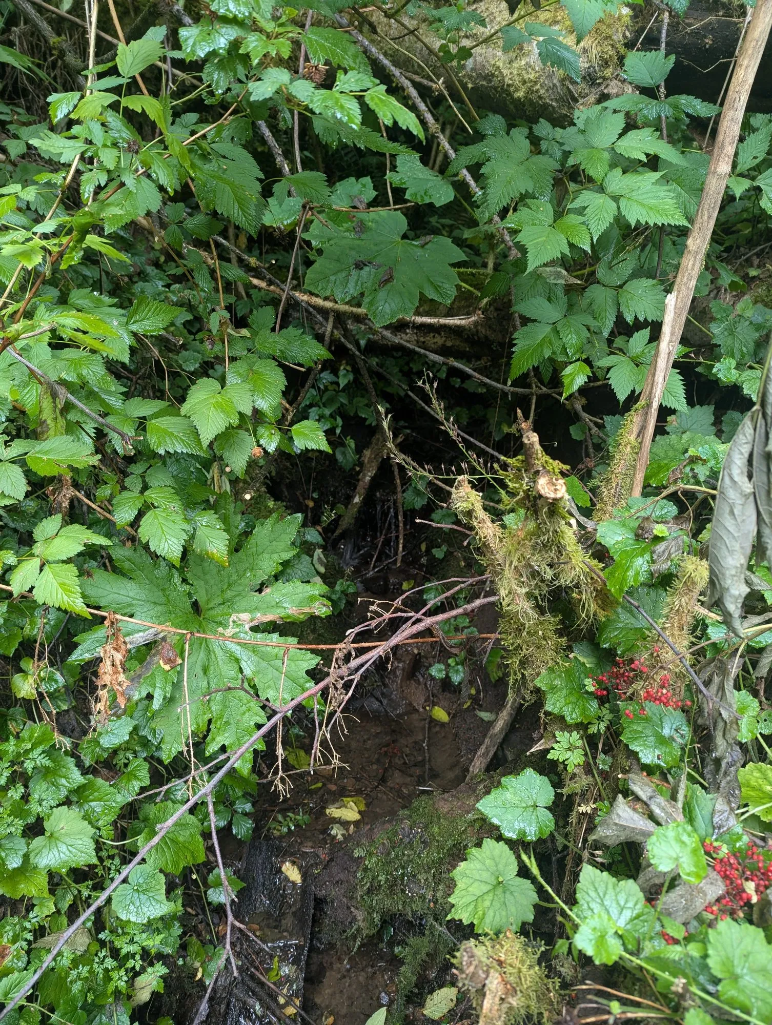
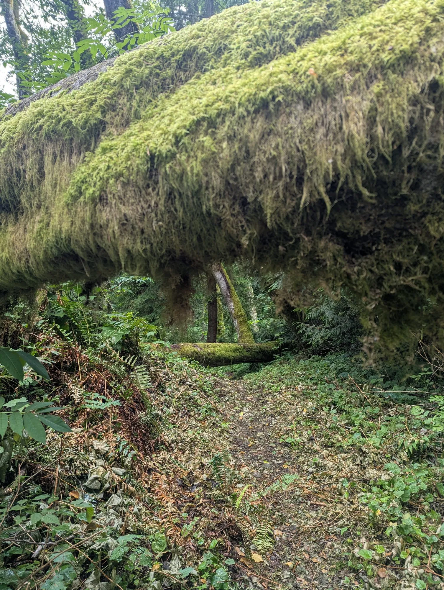
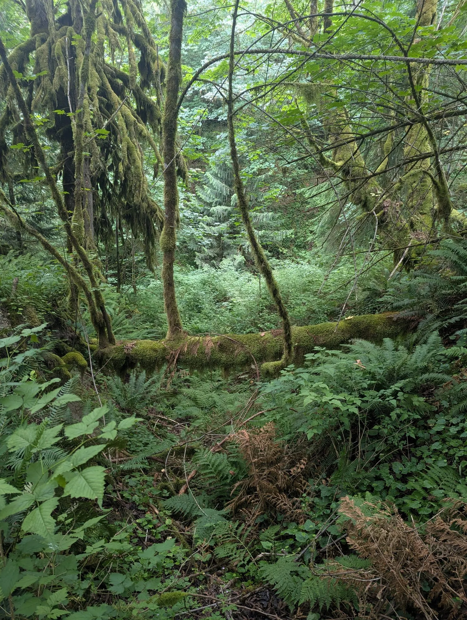
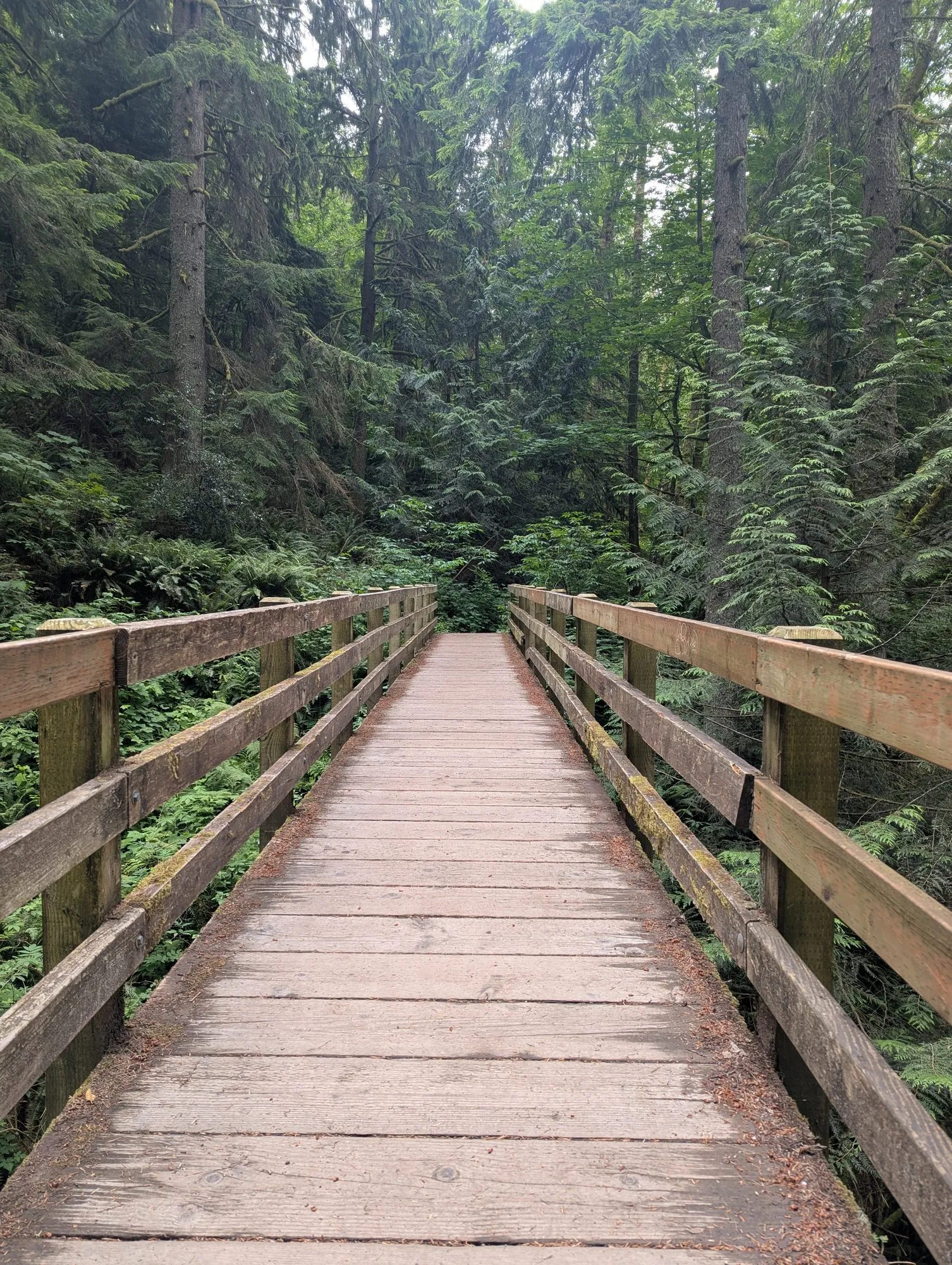
It was much quieter than the trails around Poo Poo Point. Ferns and leafy stems leaned into the narrow path, and in some places the vegetation nearly covered it. Damp leaves kept brushing against my bare legs, and sometimes I could not clearly see the ground beside my feet.
Coming from Kerala, dense undergrowth made me instinctively think about snakes. I did not see one, but I felt exposed in shorts and wished I had worn hiking pants.
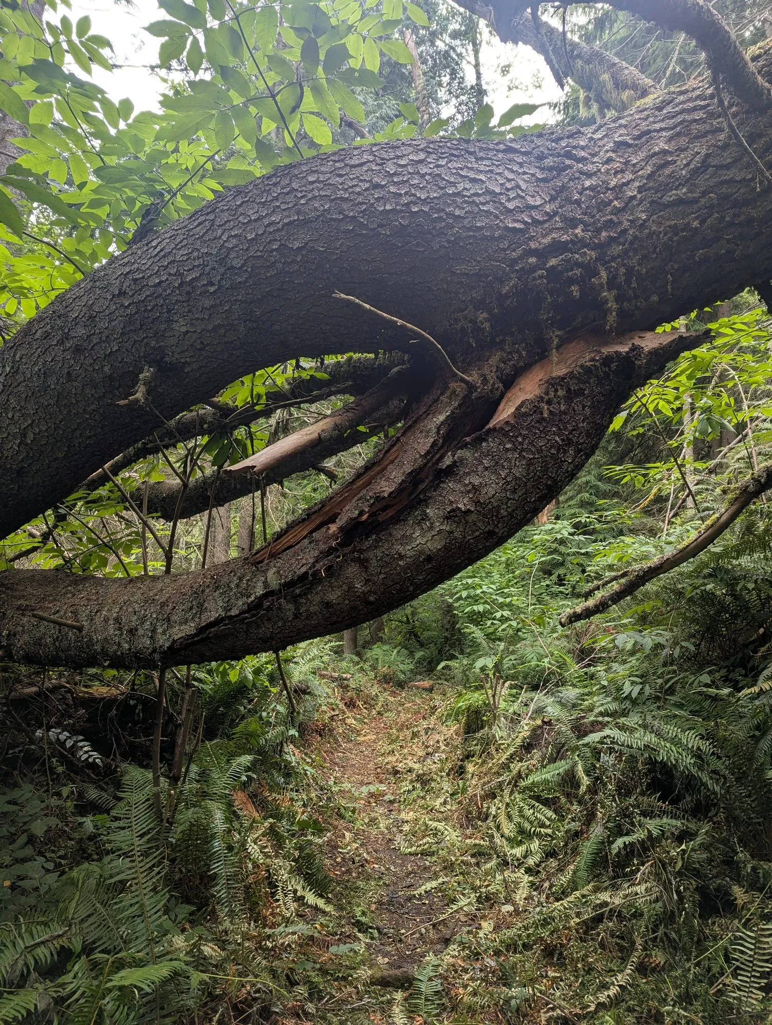
Some stretches looked recently cleared. Farther along, undergrowth and fallen branches still crowded the path. It looked as though work had been done on parts of the trail but had not yet reached the entire route.
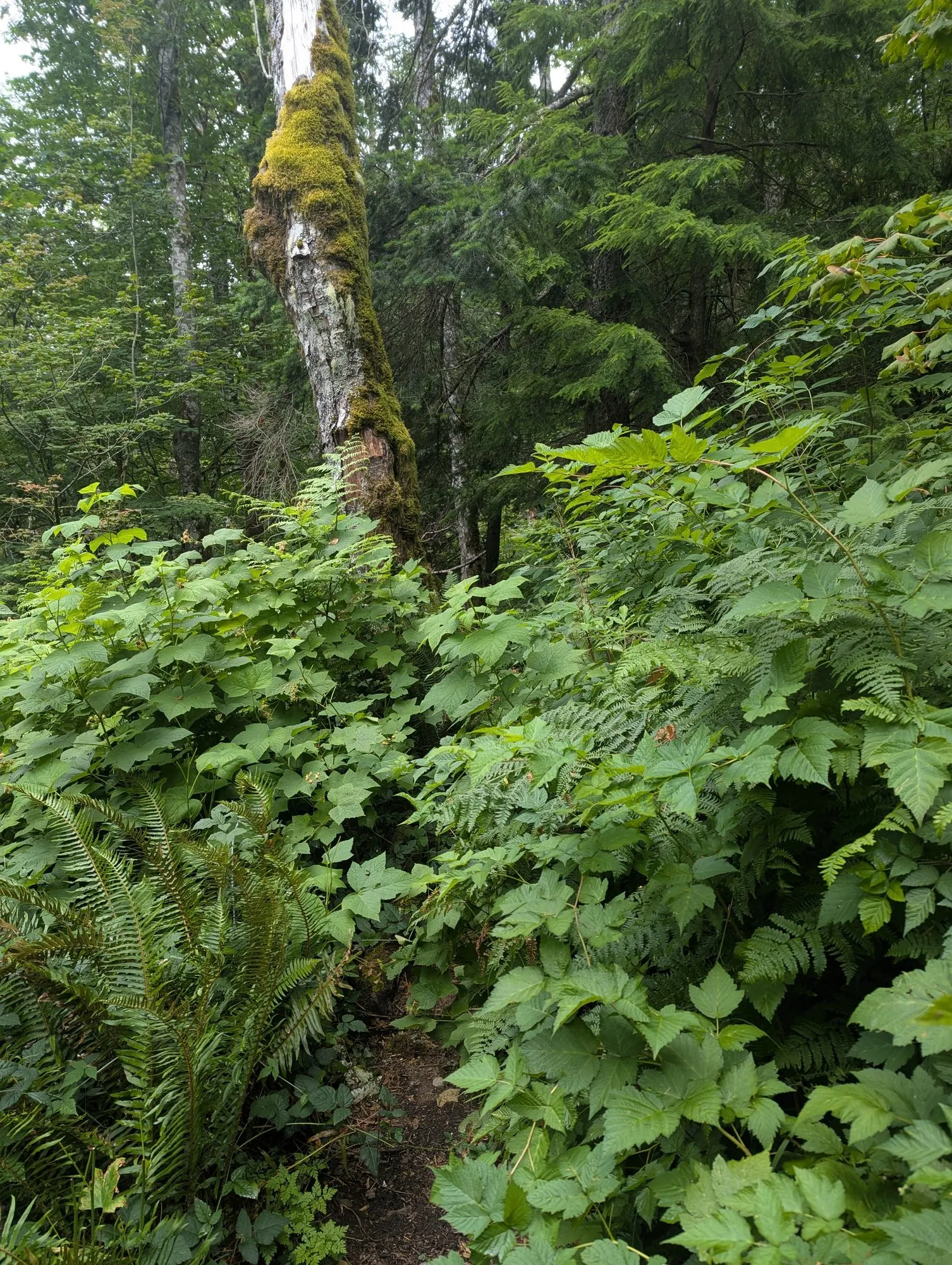
I kept walking into fresh spider webs stretched across the trail. It felt as though no one else had passed through that morning, and I had not seen another hiker for some time.
As I went farther along West Tiger Railroad Grade, a childhood feeling returned. The overgrown path, the quiet, and not knowing what was around the next turn reminded me of exploring near my mother’s ancestral home.
The area there was mostly rubber plantations and fruit trees, but as a child, it felt like a forest to me. I loved going into those places alone and discovering where the paths led.
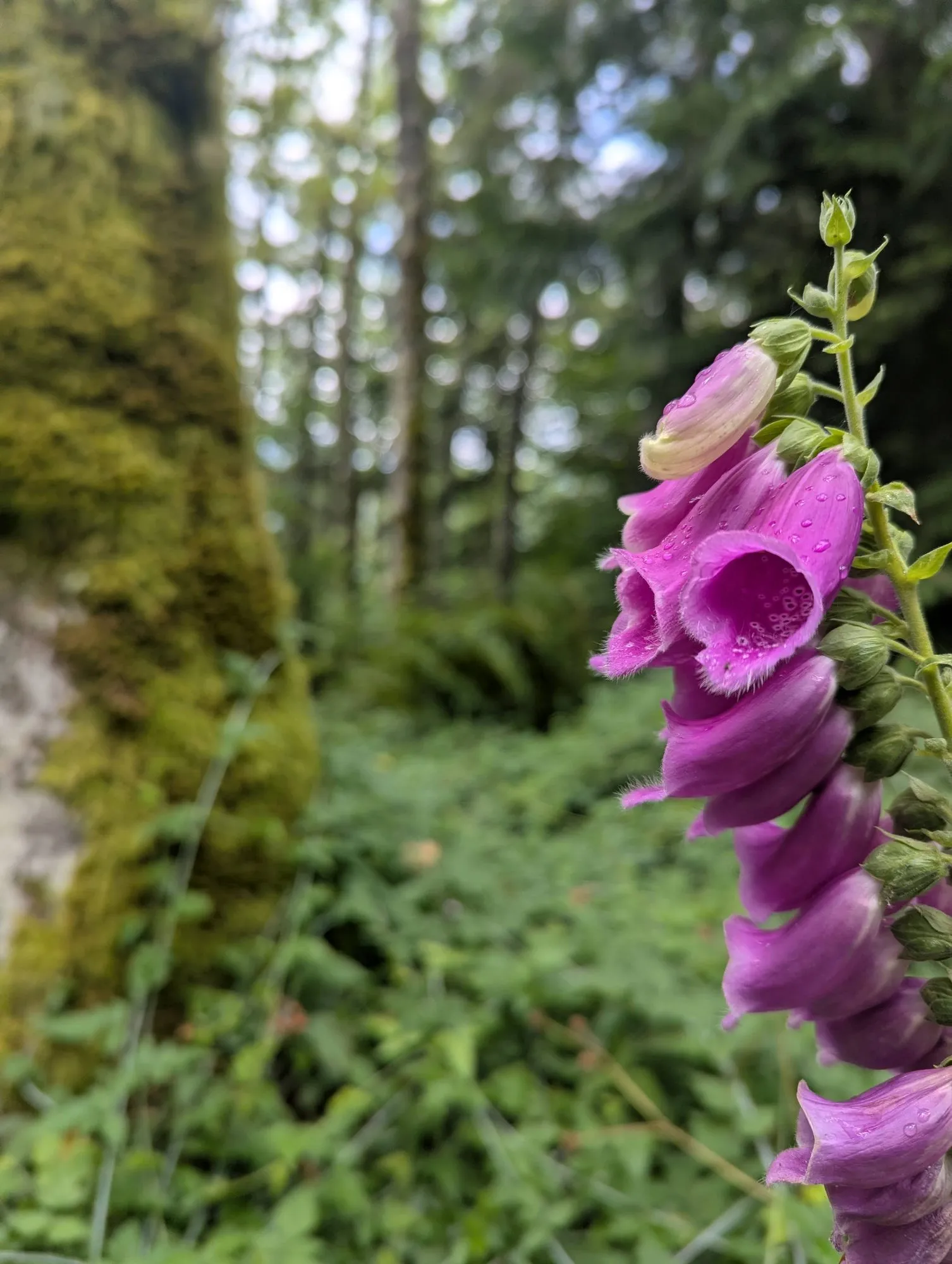
I later learned why it is called West Tiger Railroad Grade. In the early twentieth century, logging rail cars traveled through this part of Tiger Mountain. After logging ended, the rails and ties were removed, leaving the grade that hikers follow today. I had no idea about that history while I was on the trail, so the name was just a name to me then.
Only after I was well inside the quieter trail did I begin thinking about bears.
Emy’s cousin had mentioned that bears had been seen even near his home. The thought had not bothered me when I started the hike. It became harder to ignore once I was deep inside the trail, without other hikers nearby and with a spotty phone connection.
When I had enough service, I searched for what to do if I encountered one. I also made a mental note that I should probably carry bear spray in the future, especially since I seem drawn to trails that are less traveled.
It reminded me of a hike Emy and I had done at Ecola State Park in Oregon. We had accidentally taken the wrong route, and I had been willing to keep going. Emy noticed that the path did not look like a proper trail and made me stop and check the map.
This time, she was not there to question my instinct to continue.
The unmaintained trail
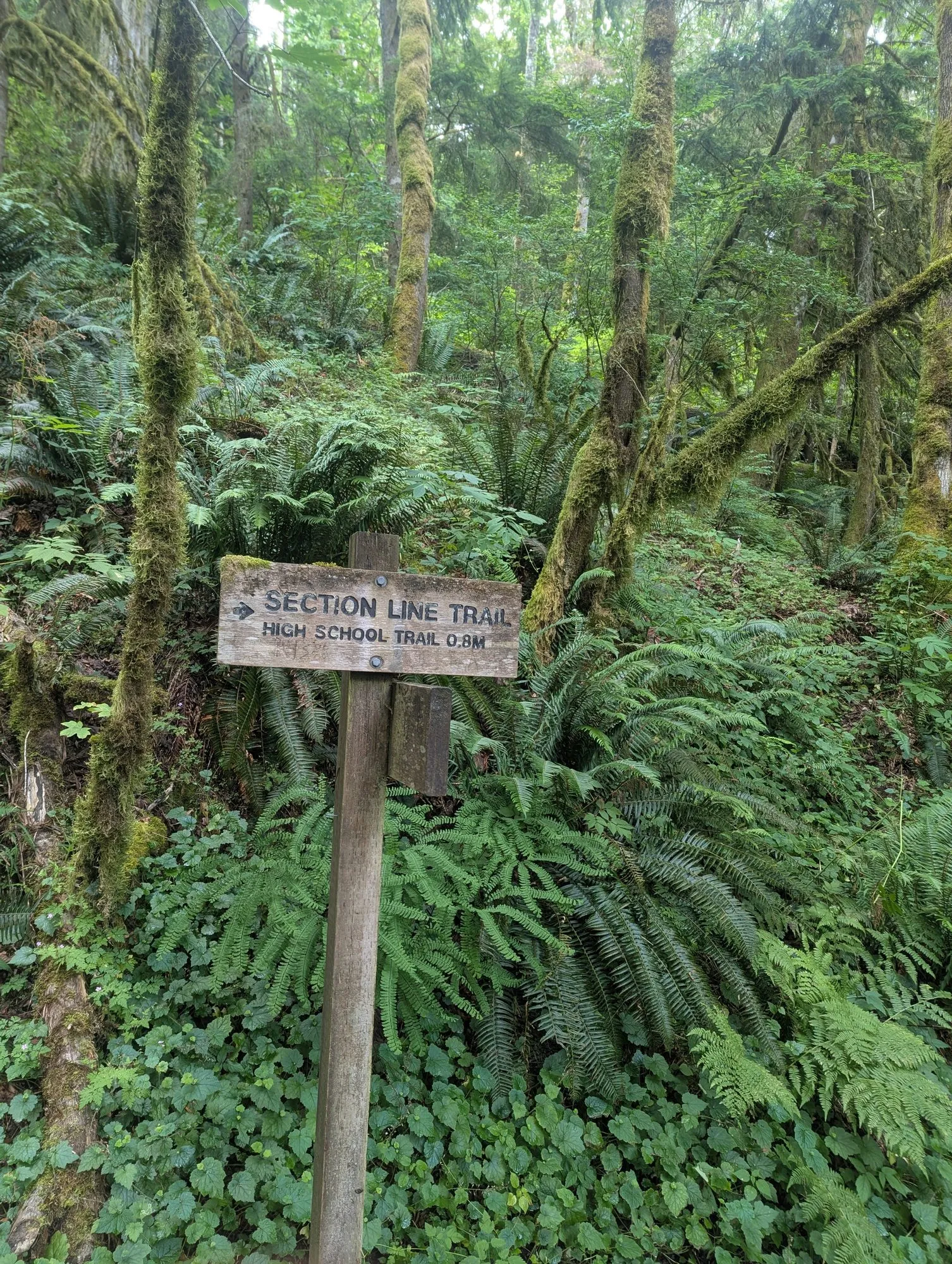
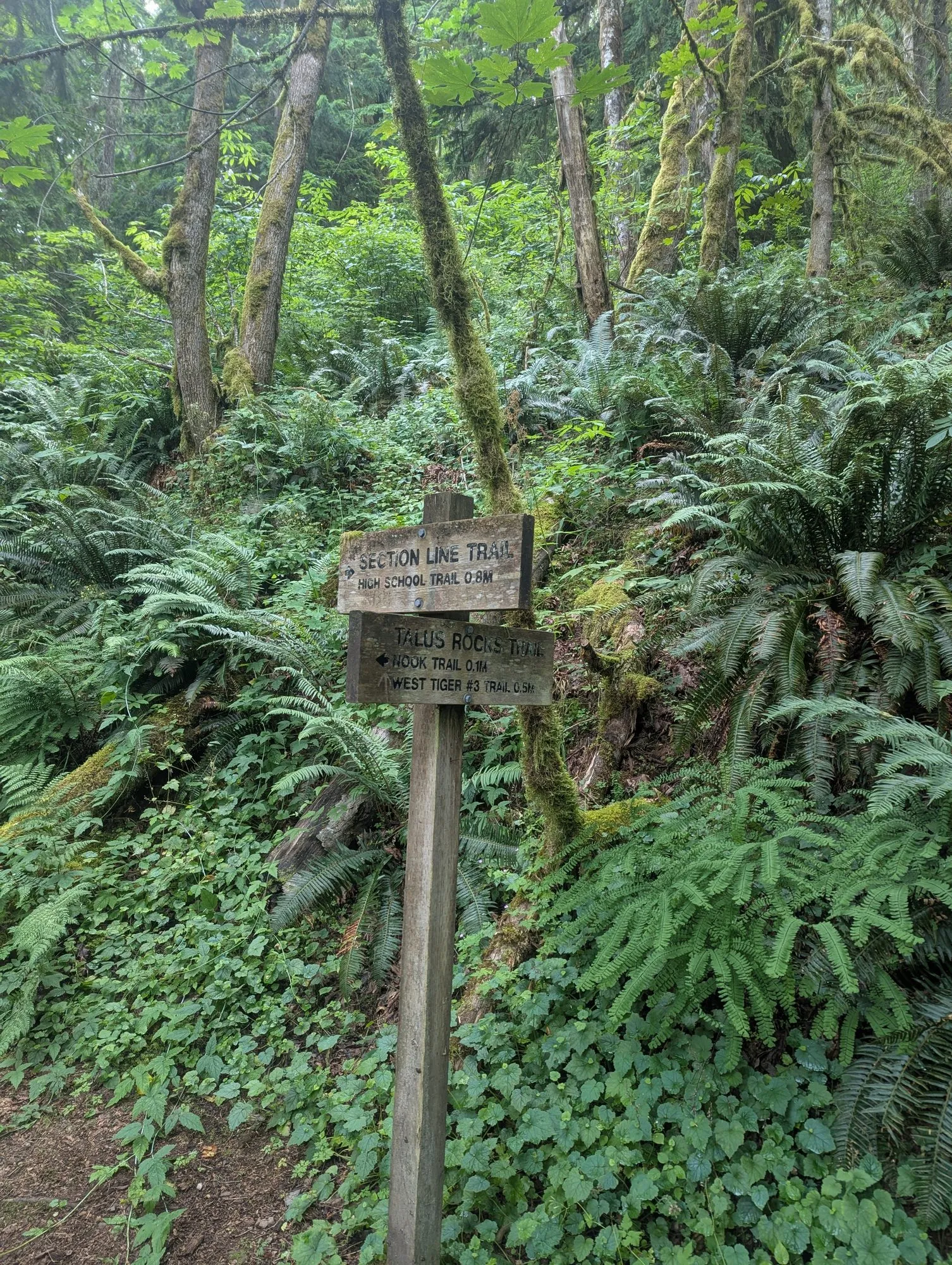
Eventually, I reached Section Line Trail.
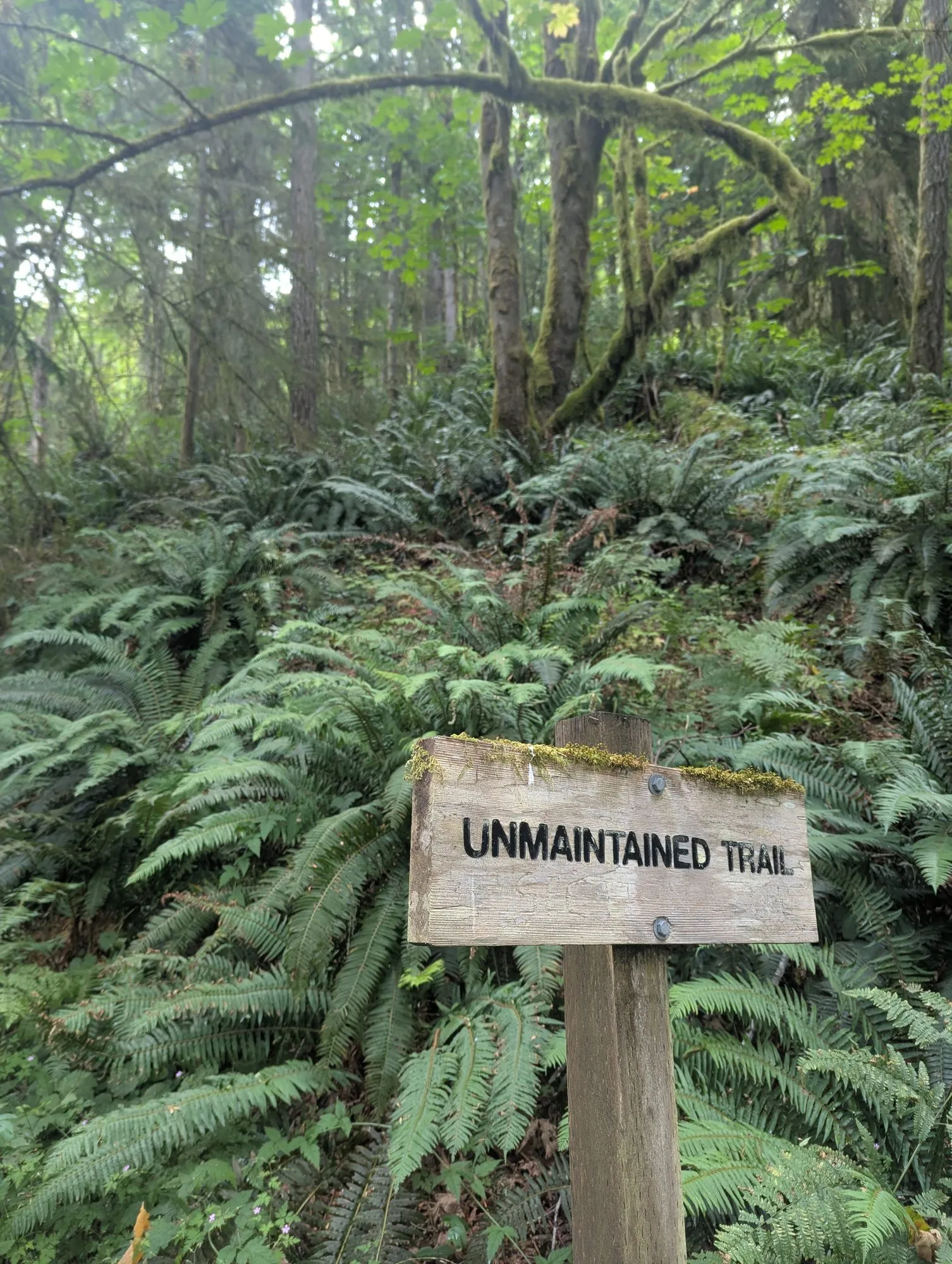
A wooden sign identified it as an unmaintained trail, but it felt easier and safer to follow than West Tiger Railroad Grade. Tall trees rose from a relatively open forest floor, and there was little vegetation crowding the path. I no longer had to wonder whether I was still on the trail.
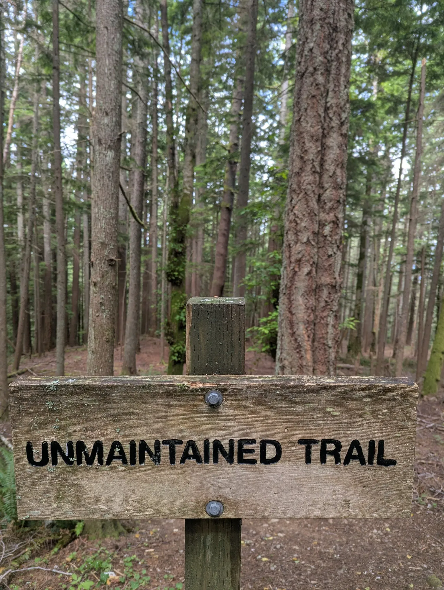
I also passed a couple of hikers there. After the long stretch where I had seen no one, their presence was reassuring.
I continued to the intersection of Section Line Trail and Poo Poo Point Trail, where I stopped to rest and eat.
The small amount of food I had packed would have been more than enough for the short hike I had planned. It was not enough for the much longer loop I had chosen.
I was also getting close to the end of my water. Three liters had seemed excessive when I left the car. Now it did not feel like much at all.
Back among the hikers
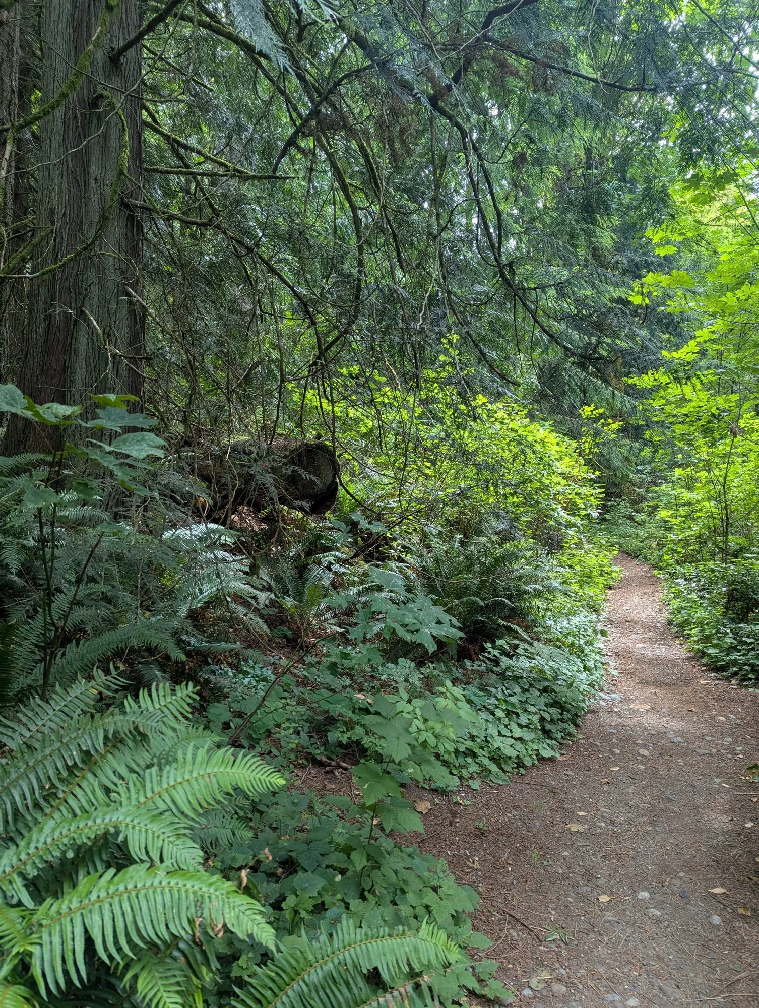
Poo Poo Point Trail felt like a highway after West Tiger Railroad Grade.
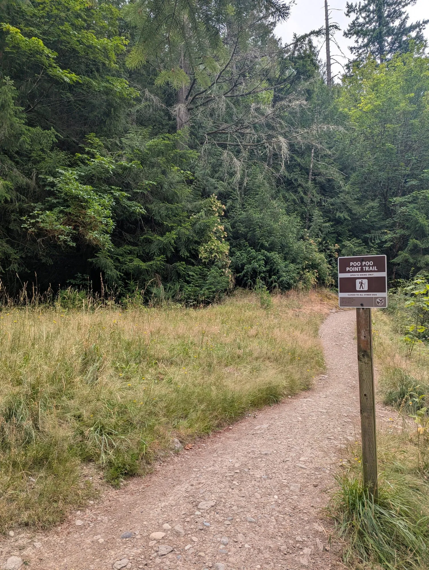
The path was wide, clear, and easy to follow. There were hikers everywhere. It was a huge contrast to the narrow, overgrown trail where I had walked for so long without seeing anyone.
By then, the extra distance was beginning to catch up with me.
I ran out of water. During the climb, I began feeling occasional cramps in my quadriceps. Until then, I had treated the longer route as an exciting addition to the day. The cramps reminded me that there was still a long way to go and that I needed to be careful not to push too hard on the climbs.
The loop eventually brought me back to Poo Poo Point for the second time that day. My route had taken me up and down the mountain twice.
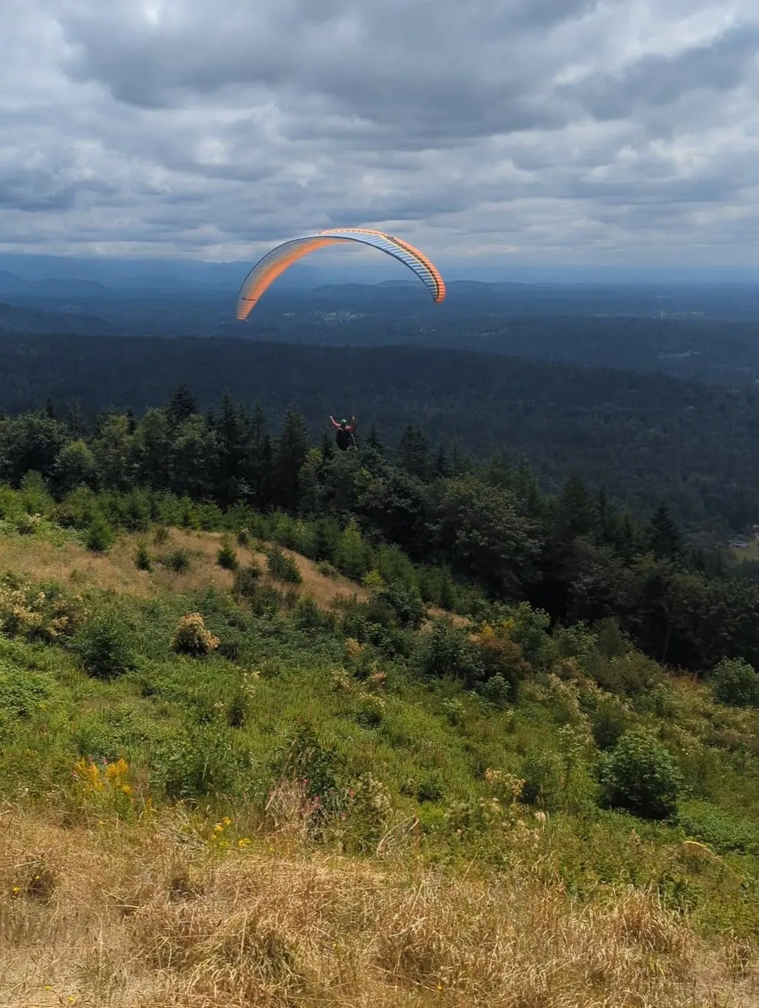
This time, paragliders were preparing to launch. I stayed to watch. After seeing them so often from Emy’s cousin’s home, it was satisfying to finally be close enough to watch one of them run across the field and lift into the air.
Then I began the final descent.
The same paraglider
At one point, I stepped aside to let a group of hikers pass. While I was standing there, one of my calves cramped.
When I began moving again, short, quick downhill steps felt better than trying to walk slowly. I was also very thirsty, and running seemed like the fastest way to reach the bottle of water waiting in my car.
So I kept running toward the trailhead.
I did not time the descent. I had started running shortly after watching one particular paraglider take off from Poo Poo Point. When I reached the bottom, I saw the same paraglider coming in to land.
He recognized me as the person who had waited to watch him launch, and we spoke briefly after he landed.
I liked that small coincidence. He had traveled through the air while I had run down the mountain, and we ended up meeting again at the bottom.
When I finally reached my car, I opened the extra bottle of water and began drinking. As I gulped it down, my legs were trembling involuntarily.
Even with the cramps, the thirst, and the stretches where I wondered whether I should have brought bear spray, I was glad I had taken the longer route. It had been a fun adventure.
I would do this loop again. Next time, I would bring more food and water, wear hiking pants, and perhaps carry bear spray.
More from the day